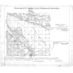
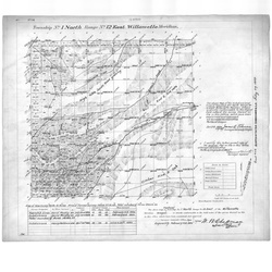
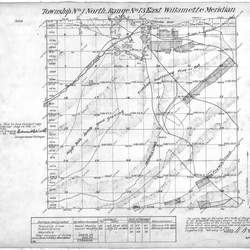
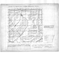
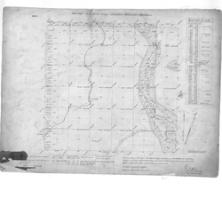
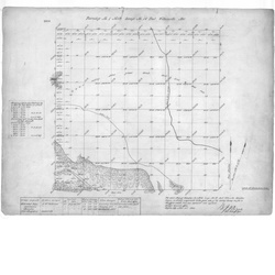
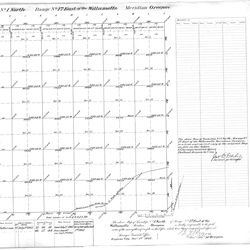
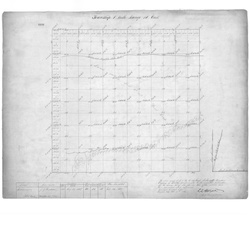
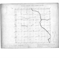
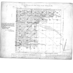
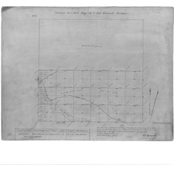
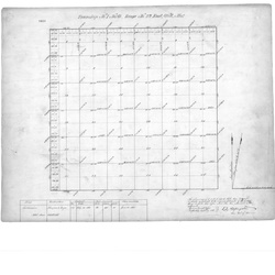
1860 Cadastral Survey Maps of the Lewis & Clark Trail in Oregon and Washington
In the United States, Cadastral Survey within the Bureau of Land Management (BLM) maintains records of all public lands. Such surveys often give detailed information on the history of land use, legal accounts, and other documents. We have downloaded into this archive all the 1860 Cadastral Maps covering the Lewis and Clark Trail in Oregon and Washington. These historic maps can be useful in researching Lewis and Clark Campsites and travel locations. For example, these maps may show old Native American Trails or wagon roads that have long since disappeared. Also they may show drainage locations that have been altered or flood under reservoirs.
The original collection was indexed by CD number, but that information has now been incorporated into the tags on these maps to make them more easily searchable.