Maps
-
Trail Map
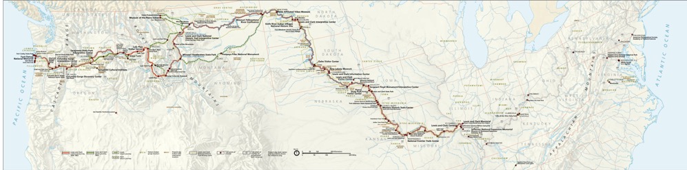
Lewis & Clark Expedition Trail Map (dim. 34.61" x 8.61")
Download large PDF version (1.55MB) -
Which Indigenous lands are you on? This map will show you.Native Land Digital, a Canadian nonprofit, offers resources for Indigenous and non-Indigenous people to learn more about the land and its history. It hopes its map will be just a part of that journey.
https://native-land.ca -
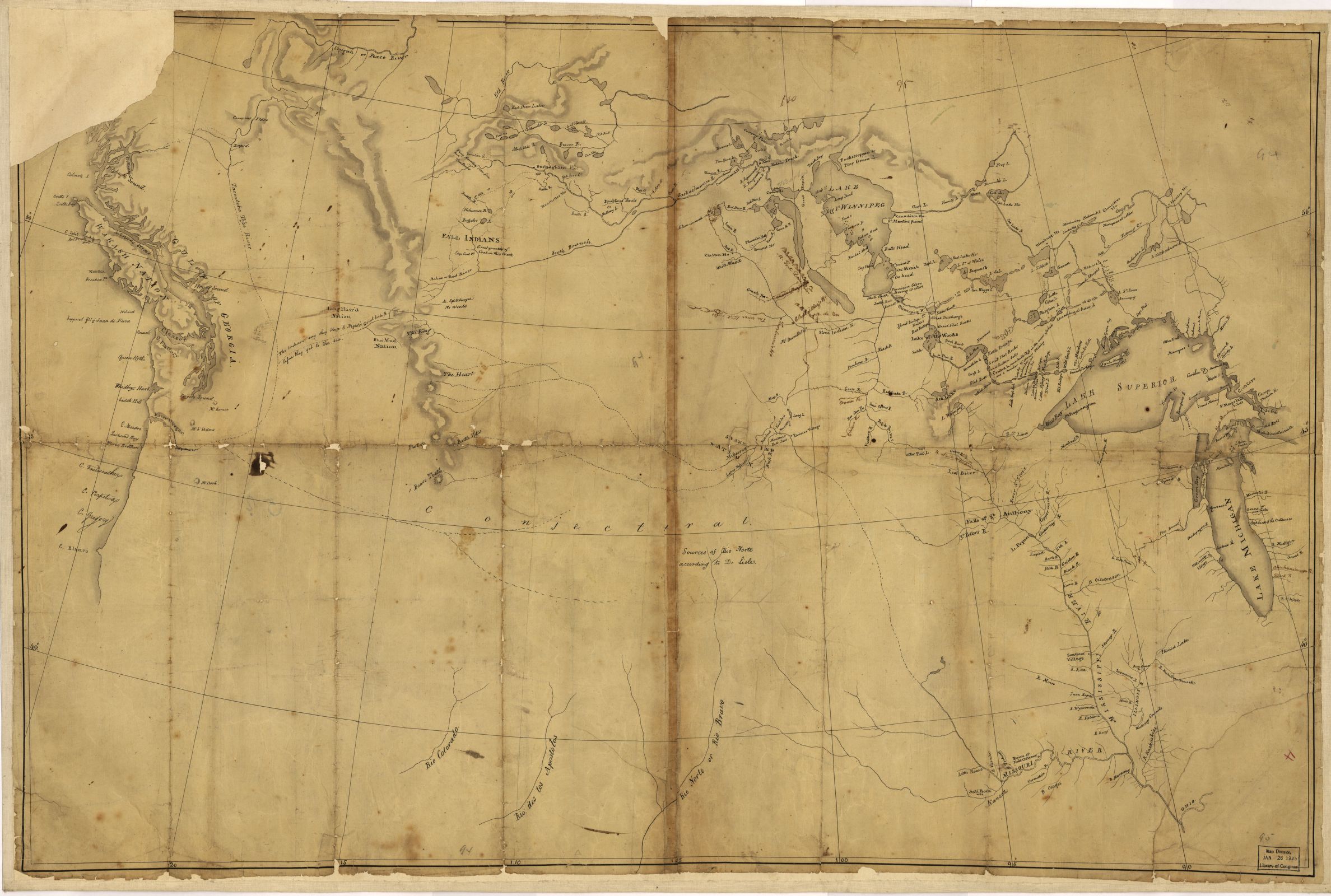
Nicholas King Map, 1803Lewis and Clark map, with annotations in brown ink by Meriwether Lewis, tracing showing the Mississippi, the Missouri for a short distance above Kansas, Lakes Michigan, Superior, and Winnipeg, and the country onwards to the Pacific
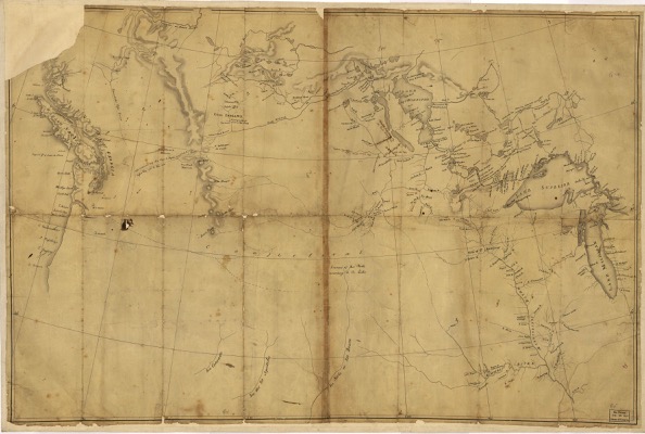
[click map for full size]
Resolution: 2376x1600
Format: jpegOther resolutions & formats of this map are available at the Library of Congress website.
-
Lewis & Clark in the Oregon Country
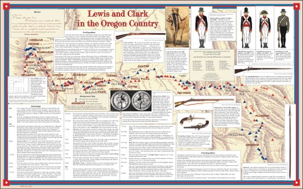
This 2005 map is courtesy of its creator, Warren W. Aney, Oregon Military Department.
Download large PDF version (1.5MB) -
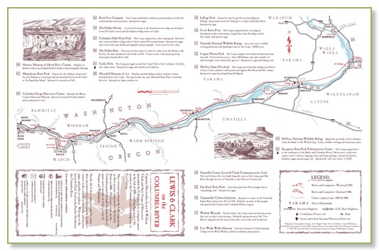
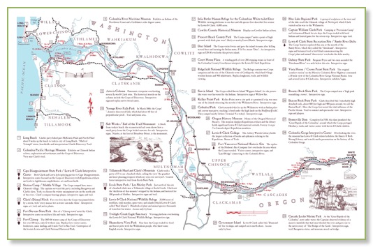
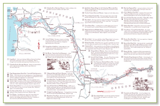
Lewis & Clark on the Columbia Rivera detailed map-guide to the L&C Trail in the Pacific Northwest
Click on map thumbnails to enlarge. A PDF version, suitable for printing on an 11x17 sheet, is also available for download HERE.